
100% Accurate Radius Maps Using CAD for US-based Client
The Client
Flatworld Solutions was contacted by a Consulting and Expediting Company in the United States. The company's primary services include acquiring building permits, preparing construction drawings, and providing radius maps - all for clients and the department of buildings.
The client needed assistance with their radius maps. Specifically, the client requested Flatworld Solutions' assistance with the following:
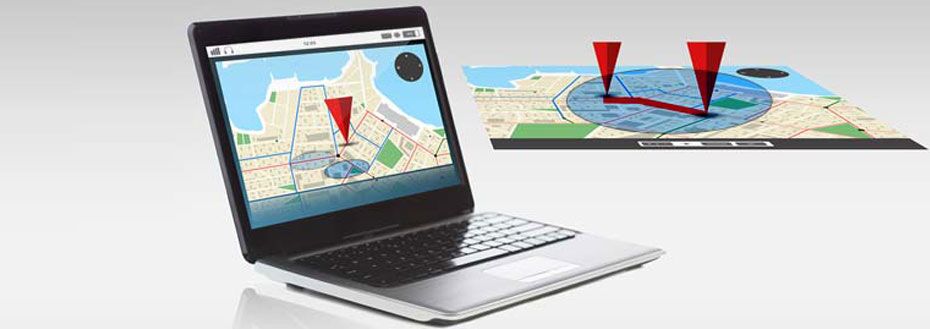
- Map the Radius of Specific Areas
- Create CAD Drawings with Information of Those Areas
- Match the Data to an Excel Sheet of Addresses and Information
The radii could vary considerably, with some radiuses of 100 meters, while others may be up to 300 meters. Each 100 meter map had to be completed within 24 hours, while each 300 meter map would need to be completed in 48 hours.
The client needed a partner that could complete this task with zero errors within the recommended timeframe, and all for an affordable price. The ability of Flatworld Solutions to meet these requirements encouraged them to select our team for the role.
The Challenges
This was a niche requirement. Although Flatworld Solutions had many years of experience with the components of the project, it also was a unique project specific to the needs of this company, which meant that there would be some training necessary to ensure we were capable of matching the client's needs.
Similarly, this training would need to be completed quickly so as not to affect turnaround time.
The Solutions
Flatworld Solutions put 4 FTE (full time equivalents) on the task. They were then trained directly by the client on their requirements, so that no details would be forgotten in the process.
Before working on the project, the team did a trial project which was completed successfully. After receiving client approval, the team at Flatworld Solutions used source files that were shared via Dropbox to create the radius maps, the CAD drawings, and more for each specific area. This information was then also entered into the Excel Sheet in order for the client to maintain a database.
Once each radius map was completed, it was then thoroughly reviewed by the Quality Assurance Team for accuracy, both to determine that it met client requirements and to ensure that all data entered was error free. The team used AutoCAD, as well as Excel and other software.
The Results
Despite the training involved for this type of niche project, the work achieved a 100% accuracy rate - well exceeding client expectations. Deadlines were met as needed, and the client expressed their satisfaction with the project and began outsourcing more radius maps to Flatworld Solutions.
Flatworld Solutions has worked with global clients to provide our highly specialized engineering services at cost-effective prices. To learn more about the benefits of radius map outsourcing to our team here at Flatworld Solutions, contact us today.
Contact UsAvail best-in-class services at affordable rates

Our Customers

Key Differentiators
Case Studies
-
Flatworld Solutions provided customized CNC programming using MasterCAM
-
Flatworld Provided CFD Simulation Services to a Leading HVAC Products Manufacturer
-
Flatworld Solutions Offered Mechanical Instrument Drafting and Detailing Services to an Engineering Consultant
-
Flatworld Solutions Offered US Client with 2D to 3D Mechanical Legacy Drawing Conversion
-
Flatworld Solutions Provided Reverse Engineering of Machine Parts to a Client
Join the growth phase at Flatworld Solutions as a Partner
Service distributorship and Marketing partner roles are available in select countries. If you have a local sales team or are a person of influence in key areas of outsourcing, it's time to engage fruitfully to ensure long term financial benefits. Currently business partnerships are open for Photo Editing, Graphic Design, Desktop Publishing, 2D and 3D Animation, Video Editing, CAD Engineering Design and Virtual Walkthroughs.
Reach out to us for a quick direct response from decision makers at the Flatworld Solutions global team.
Live chat with us
USA
Flatworld Solutions
116 Village Blvd, Suite 200, Princeton, NJ 08540
PHILIPPINES
Aeon Towers, J.P. Laurel Avenue, Bajada, Davao 8000
KSS Building, Buhangin Road Cor Olive Street, Davao City 8000
INDIA
Survey No.11, 3rd Floor, Indraprastha, Gubbi Cross, 81,
Hennur Bagalur Main Rd, Kuvempu Layout, Kothanur, Bengaluru, Karnataka 560077
